Day 6: 14May2015 – Northward, Ho!

[My apologies: these are very rough notes, but I will refine them later. Enjoy!]


0900 – briefing

We will be positioning far to the north, in preparation for an active day in Nebraska on Friday:


Machine generated alternative text: Sprint •e  09:37  spc.noaa.gov  86%


Machine generated alternative text: Day 2 Risk  SLIGHT  MARGINAL  Sprint  09:11  spc.noaa.gov  96%  2: SLGT  HIGH  May 14, 2015 0600 UTC Day 2 Convective Outlook  Updated: Thu May 14 05:58:05 UTC 2015 (O, |  Probabilistic to Categorical Outlook Conversion Table  Categorical Graphic  SPC DAV 2 CATEGORICAL OUTLOOK  ISSUED:  VALID: tsn200z-16na:nz  FORECASTER. DIAL  Outlook  Area mi.)  49,736  166,508  Area Pop.  473,733  4616813  Some Larger Population Centers in Risk Area  Grand Island, NE...Kearney, NE...North Platte,  NE...Hastings, NE...Columbus, NE...  Omaha, NE...Wichita, KS...Linc01n, NE...Lubbock,  TX...Amarillo, TX...  —n—Oklåh6hG'CiiibK...Kansas City, MO... Isa, o es  SPC DAV 2 PROBABILISTIC OUTLOOK  ISSUED: cS58Z  VALID: Isn200z-16nzoz  FORECASTER: DIAL  NOAA/NI•VS Prediction Center. Norman. Oklahoma  Moines, IA...Overland Park, KS..  Probabilistic Graphic  Total Severe Probability Legend (in S):  Probability of severe weather within 25 miles of a point.  Hatched Area: 10% or greater probability of significant severe within 25 miles of a point.


0945 – dot hotel

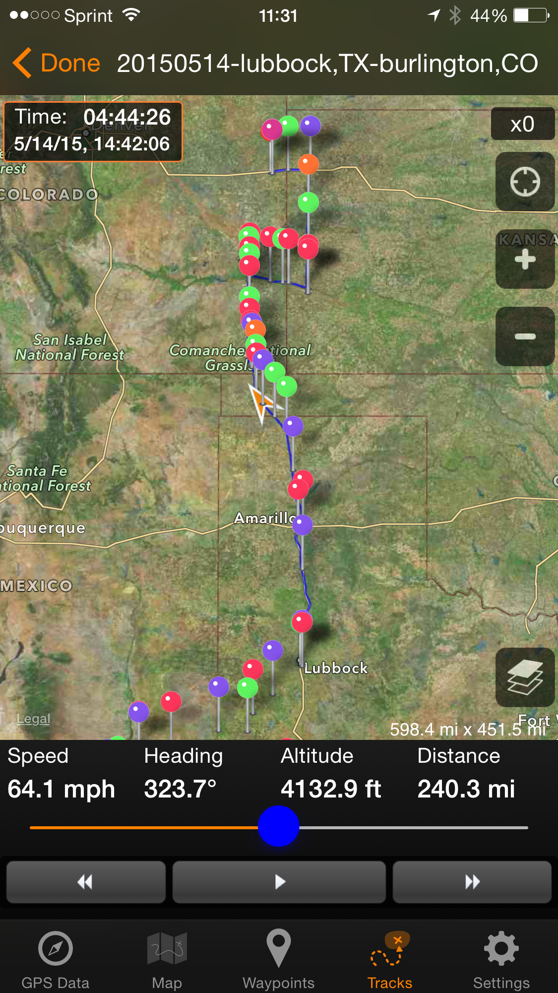
1000CDT –  depart Love’s in south Lubbock

1015CDT – depart
Walgreen store in downtown Lubbock on I-27 N (where we picked up AB’s Rx)

____ – at
Amarillo,TX


13:37CDT – depart
China Buffet, Dumas, TX

____-  Depart Stripes c-store in Iraan, TX

14:28CDT – enter OK

15:18CDT/14:18MDY
–  enter CO (Time zone change)


17:18CDT –


Machine generated alternative text: Sprint  Stop  Altitude  3592 ft  Waypoint  sland  3G  16:46  .. . w 315.......N..  2950  COIumbus-  00:00 /mi  ETA  14748 hr 52 m  540.50 mi 186.90  Time  Distance  Giassli  —Amarill  318.77 mi  IkÅk'syA»s  OKLAH  GPS: i- 16 ft Alt: 13 ft  38.117405, -102.604171  GPS Data  Map  Waypoints  Tracks  Settings

16:46MDT – we move
north toward Lamar


Machine generated alternative text: e...o Sprint  Stop  Altitude  3581 ft  Waypoint  16:54  .....45........É.  .135...  850  540.49 mi 187.10  800/0  63.8 mph  ETA  13 hr 14m  Time  Distance  320.38 mi  'L6gal  GPS Data  Map  GPS: 33 ft Alt: 20 ft  38.114554, -102.576009  Waypoints  Tracks  Settings


1655MDT – E from
Lamar


Machine generated alternative text: Cheyenne Wells  eld  Sharon Springs  Tribune  ich  'Daniel Shav  cJohnson  FM01ton  Leoti  heal nv  Hugoion  Scott City  eßarden  Haskell  Sublet  Sewa-


1732MDT- at Holly,CO


Machine generated alternative text: Goodland, KS  KGLD  10  17:35 MDT 5/14/15  Tribune  Johnson City  Manter  Last Updated: 17:42  Composite Reflectivity  Sheridan Lake  Hartman  Granada  Buttes  VCP: 212 Precip Mode

_____ – enter  KS


Machine generated alternative text: Goodland, KS  KGLD  10  17:51 MDT 5/14/15  Hartman  anada  Holly  VCP: 212 Precip Mode  Coolidge  Syocuse  Johnson Cit  Last Updated: 17:56  Composite Reflectivity

______ – S from
Syracuse


(insert Nikon
photos, GoPro video here)

___ – extended sky
stop to observe tiered supercell to our west

20:02MDT – stop at
Love’s c-store in Syracuse, KS
  

Leave a Reply