SUMMARY:
Morning wind/rain storms NW of Rockford – detour to Belvidere Tornado Memorial
Afternoon/evening wind/rain storms between Bloomington, Peoria, and Havana
No hail, no tornadoes, but got good clouds photos
TRAVELOGUE: (Right click on any photo and select VIEW IMAGE, for a closer look at any photo)
- 0715 – depart Bolingbrook, taking I-55/80
 0814 – Fuel up van, grab a sandwich at Morris (R Place) – random encounter w/Mike, a former Red Lobster mgr at Bolingbrook – decide to detour toward Rockford/Freeport on I-39, based on radar of strong storm. I hope to see some strong winds in action, perhaps catch a bit of hail, and get video of the storm in action. Little chance these morning storms will produce a tornado. A storm over the Chicago suburb of Algonquin, IL gets tornado-warned, based on radar, for a brief while about this same time.
- 1041 – abandon storms, as my cell connection froze: I was using old radar data! Updated radar shows my storms are far to the east already. Drat!
 I traverse N side of Rockford to I-39/I-90 southbound.
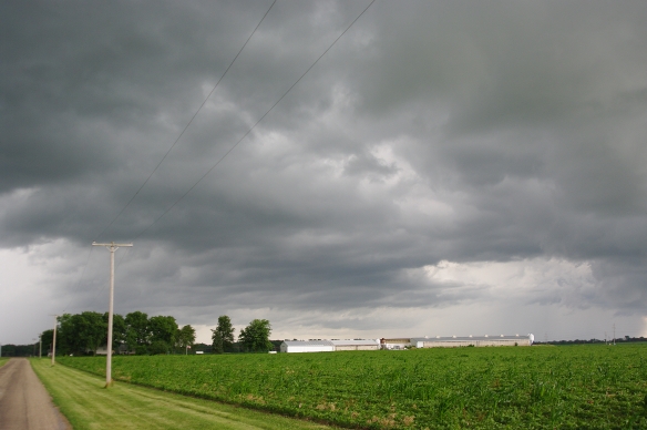
 - 1110 – take US20 exit – go to Belvidere to see the 1967 Belvidere Tornado memorial (at BHS), as no storms look interesting in the area. I heard about the memorial from a fellow attendee at the DuPage EMA Severe weather seminar back in mid-March. I promised myself I’d visit the memorial when I had and chance (and here it is).
- 1130 – take photos of the memorial; stop to reflect on that day (1967/04/21) and how it got me started chasing:

A walk around the memorial, in photos:


- 1150 – take I-90 toward Chicago – encounter weather-related (and accident-related) backups, and snap off a few photos of the storms approaching Chicago. I see some daytime lightning along the way, but am too busy driving to try to get lightning photos.(I did run the video, so maybe I got lucky during filming — who knows?).


- 1320 – Lunch at Burger king, Rt53, Bolingbrook – resolve camera problem (had accidentally rotated mode dial to MANUAL … luck to have any salvageable Belvidere pix)
- 1330 – take I-55 SB toward Bloomington/ Peoria
- 1447 – stop at ODell to refuel, look at building Cu towers to my east
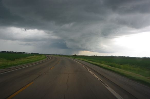
- 1532 – exit I-55 near Chenoa – stop to take pictures, evaluate potential target storms [ed. – in retrospect, I probably should have ventured east into Indiana, perhaps following the storm I spotted at Odell. This demonstrates my need to cultivate a bit more patience!]


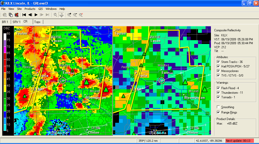
 Radar shows storms heading my way, so I hang out in the area. This time, I verify that the weather radio agrees with the radar (to avoid the mistake I made with morning storms).
 - 1639 – stop at Anchor, IL for some photos. My primary data source is weather radio, as I have no cell signal (or current radar, as a result — already reminded of the ‘stale radar’ lesson earlier today!). I wander to Towanda, but miss my turn to re-enter I-55. Re-enter a few exits south of there via a circuitous route. Ain’t GPS wonderful!


- 1800 (approx) – I crawl through a cluster of HP storms (and construction).
 West of Peoria, I opt for westbound US24, hoping to reach storms approaching from Missouri. The storms between I-57 and I-65 (in Indiana) look better than what I see ahead, but they are out of reach at this point. North of Havana, I take some pictures of the marshes near the Spoon-Illinois River confluence:


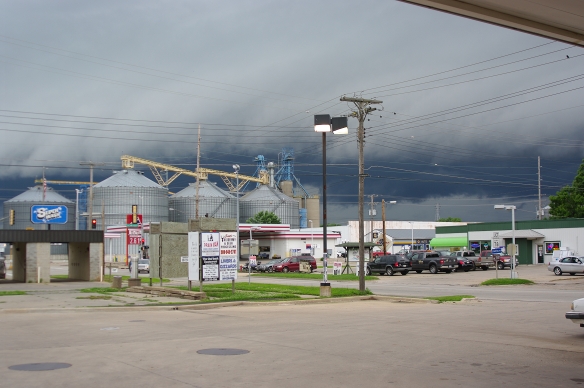
- 1905 – grab a sandwich at Havana after crossing Illinois River – photo approaching storm outflow feature. I hang out for photos in the area.

‘
Down the road a piece, I see the leading edge of the gust front of the storm: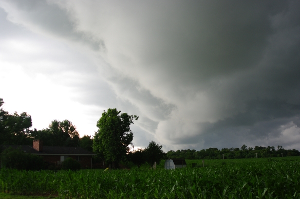

By now I realize my error in not staying further east, as the NE Missouri storms that looked interesting earlier on radar have fallen into a bow echo. Sigh. Tornado warning boxes go up to my east and south, too far to be reached.

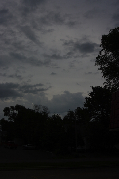
I decide to drive home, taking photos of anything interesting. The daylight fades.
COST: about $102.13 as follows:
- Motel: $0
- Fuel: $81.13 = $46.30 (Morris)+$34.83 (Odell) – started at 1/4 tank at home, ended the same
- Meals: about $20 = $5(Morris)+$9(Bolingbrook)+$7(Havana)
OTHER PHOTOS:
Around Belvidere:


East of Cehnoa:

West of Anchor:
North of Havana: